Mississippi River Flight- Day Six - Part Two
Guntersville, Alabama to Mountain Empire, Virginia
|
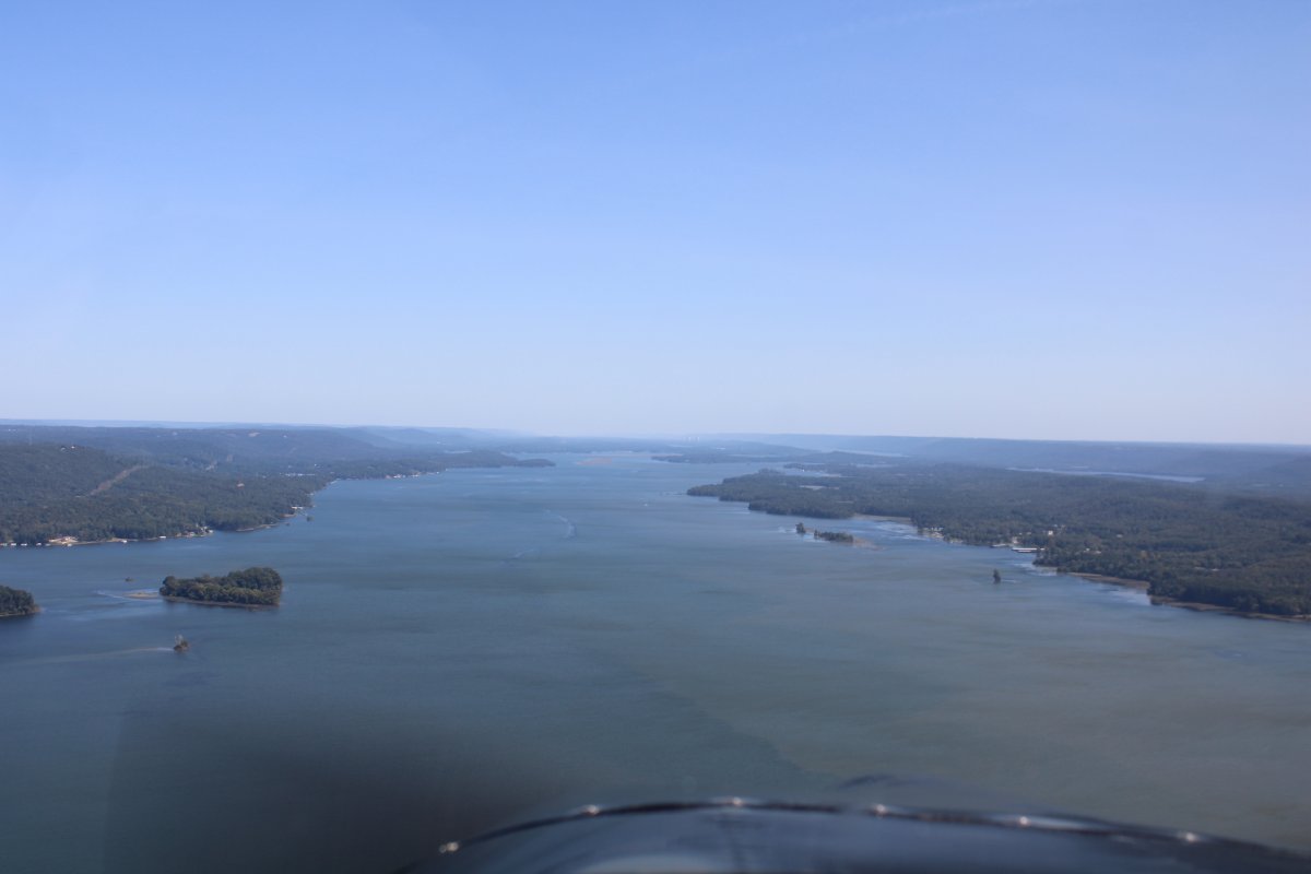
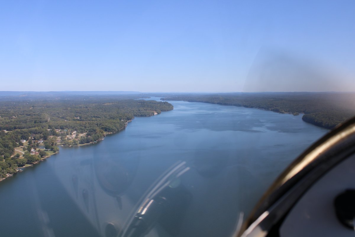
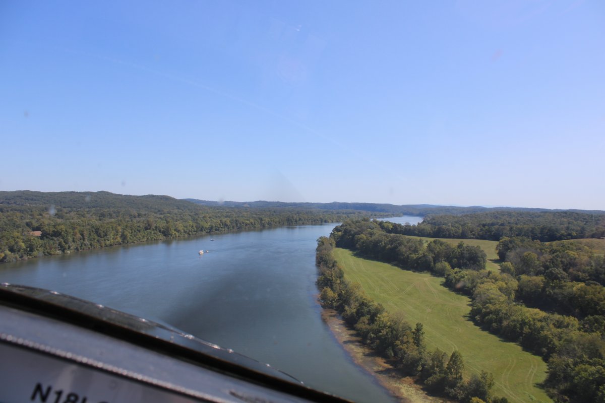
| I departed Guntersville Airport and headed north up the big, long lake. |
| |
 |
|
|
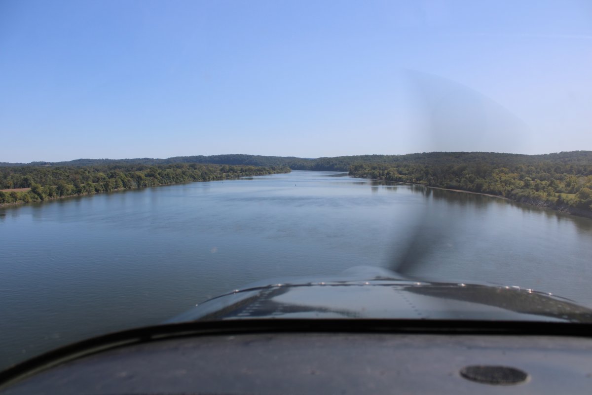
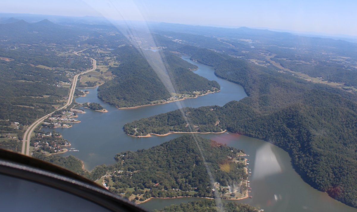
Lake Guntersville turns back into the Tennessee River. My plan was to follow the Tennessee River all the way to the vicinity of Knoxville and Oak Ridge.
|
| |
 |
|
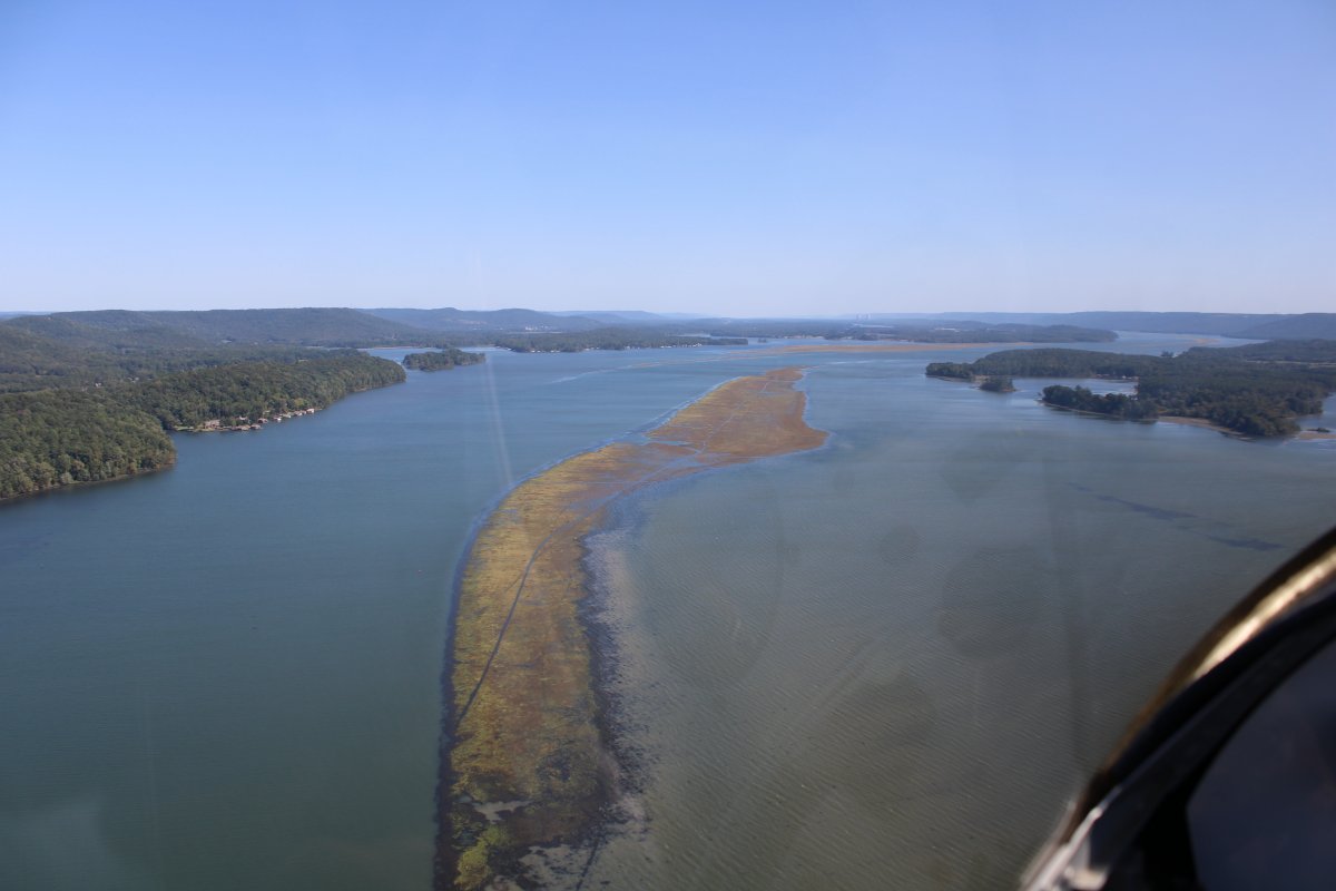
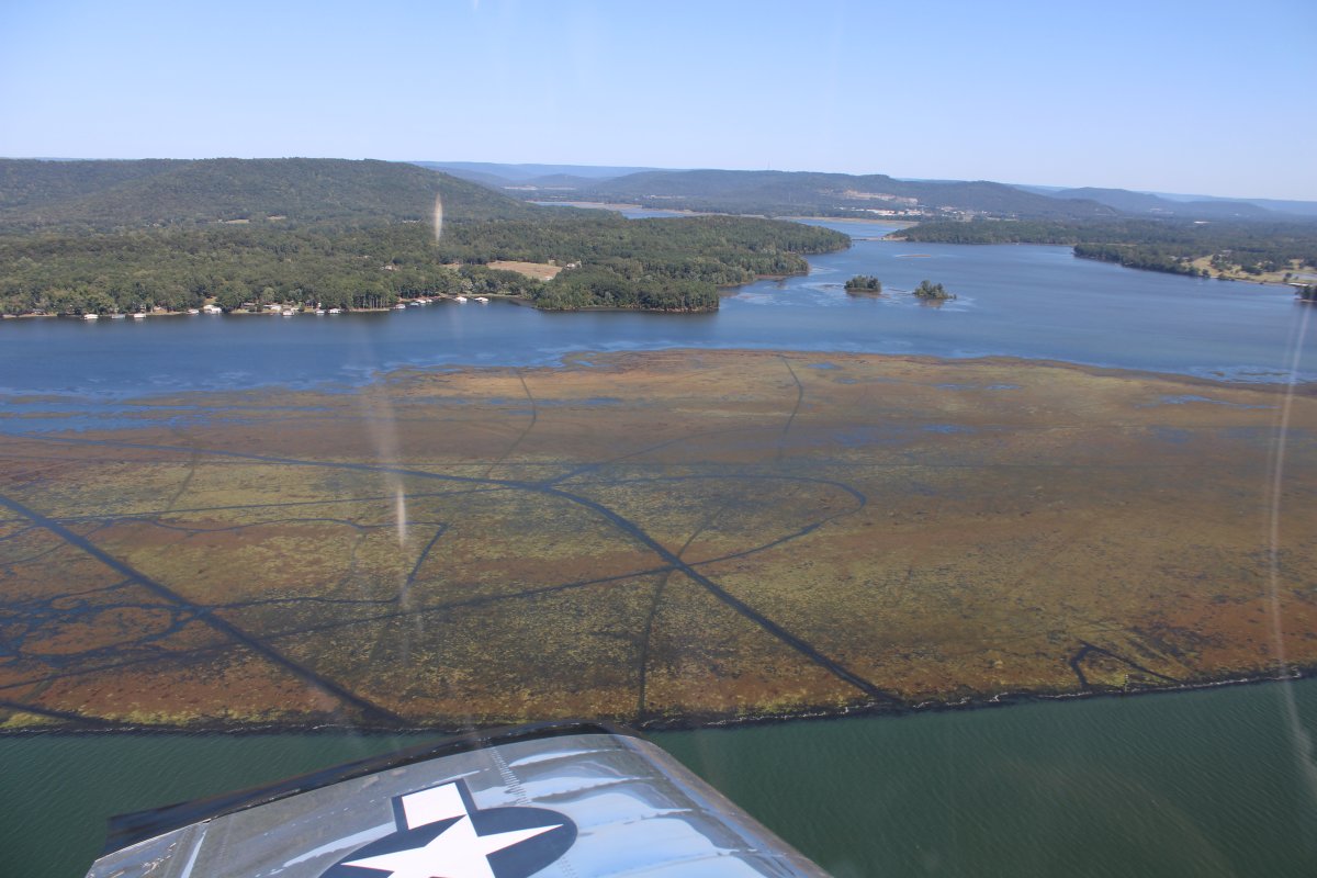
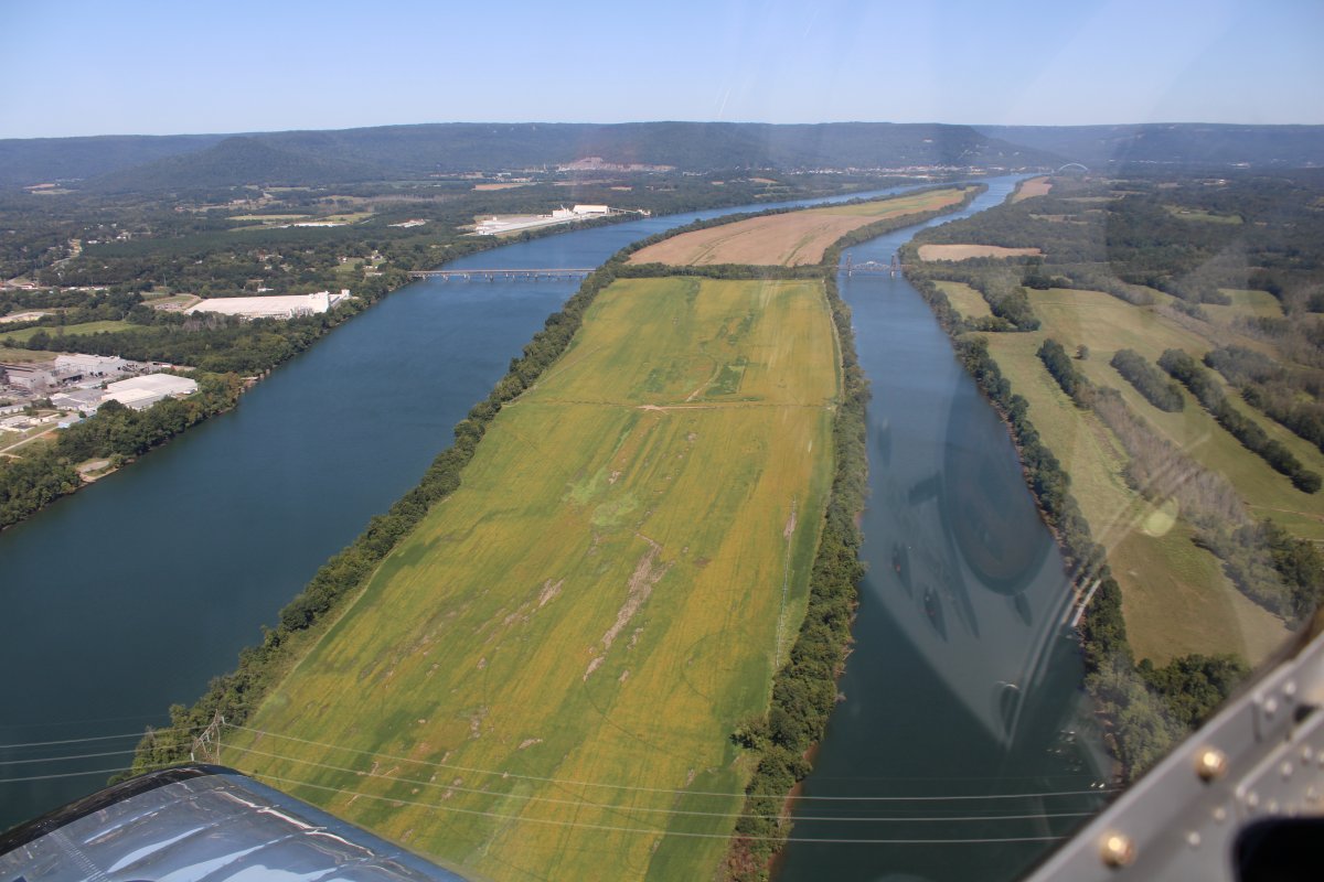
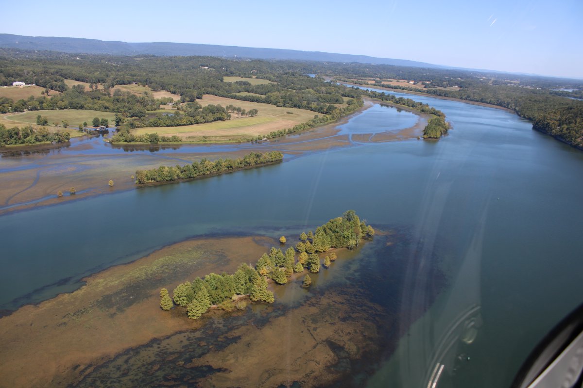
| Not sure what that big thing in the lake is. Marsh? |
| |
 |
|
|
Passing by Goose Pond Colony Resort.
|
| |
 |
|
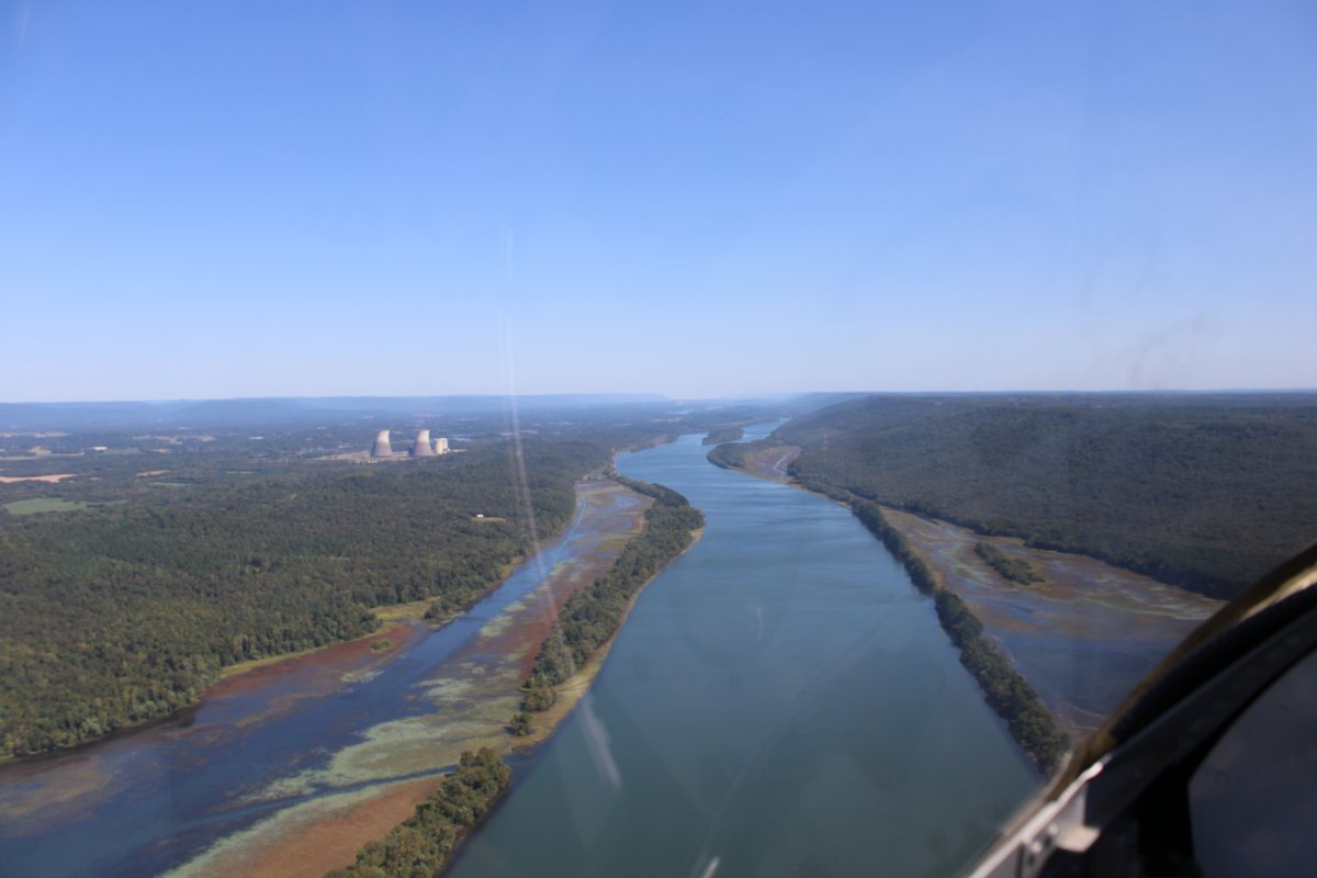
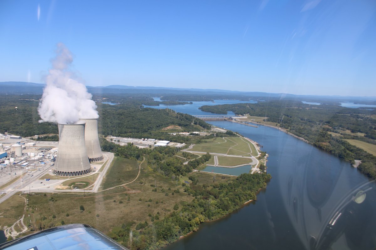
| Approaching the Bellefonte Nuclear Plant. |
| |
 |
|
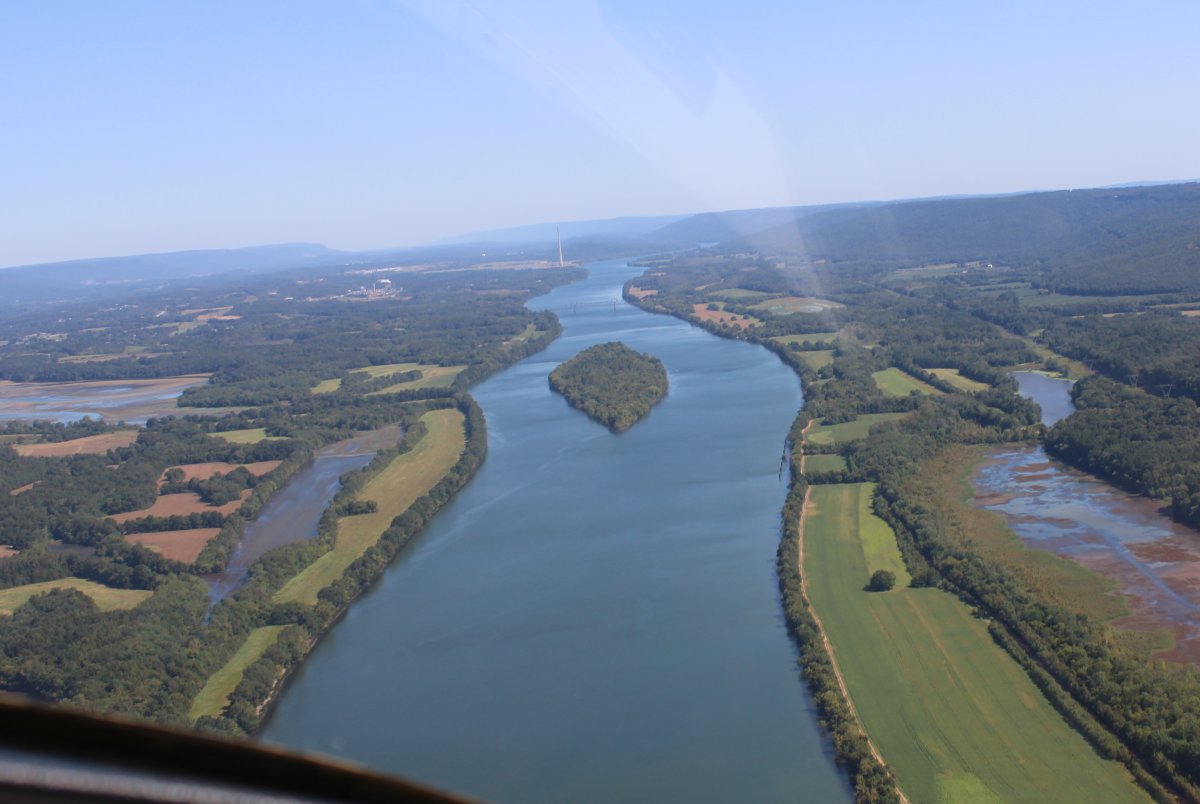
| Crow Creek Island on the Tennessee River. |
| |
 |
|
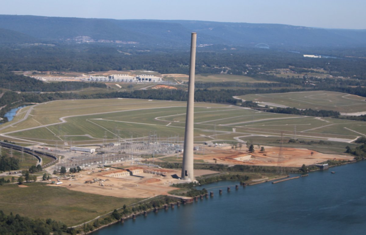
| This tall chimney mystified me. There were no buildings around it. From Google Earth I could see there used to be buildings around, and other tall chimneys. So I think they have torn down the power plant that used to be here. |
| |
 |
|
|
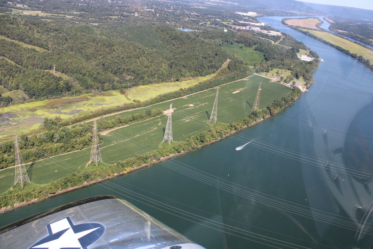
Winner of "Most Wires Across the River" Award goes to this set of five, count 'em, five towered pairs across the Tennessee River!
|
| |
 |
|
| This island is appropriately named "Long Island". At the northern end, I cross from Alabama into Tennessee. |
| |
 |
|
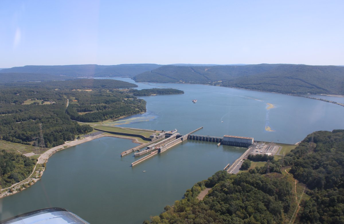
The Nickajack Dam. And lock. It was built in the mid-1960s to replace the outdated Hales Bar Dam 6 miles upstream. |
| |
 |
|
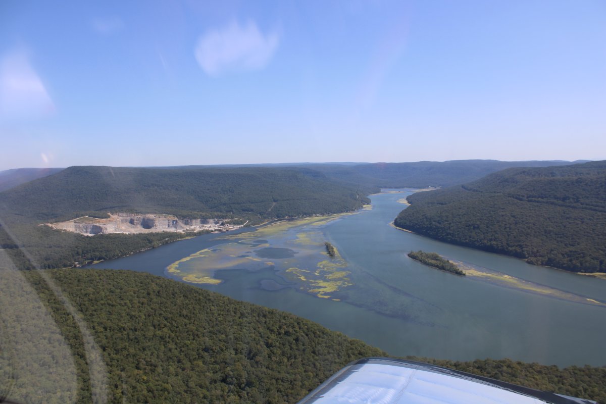
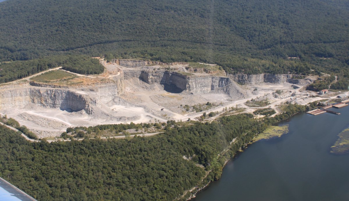
| Approaching a large quarry on the north bank of the Tennessee River. |
| |
 |
|
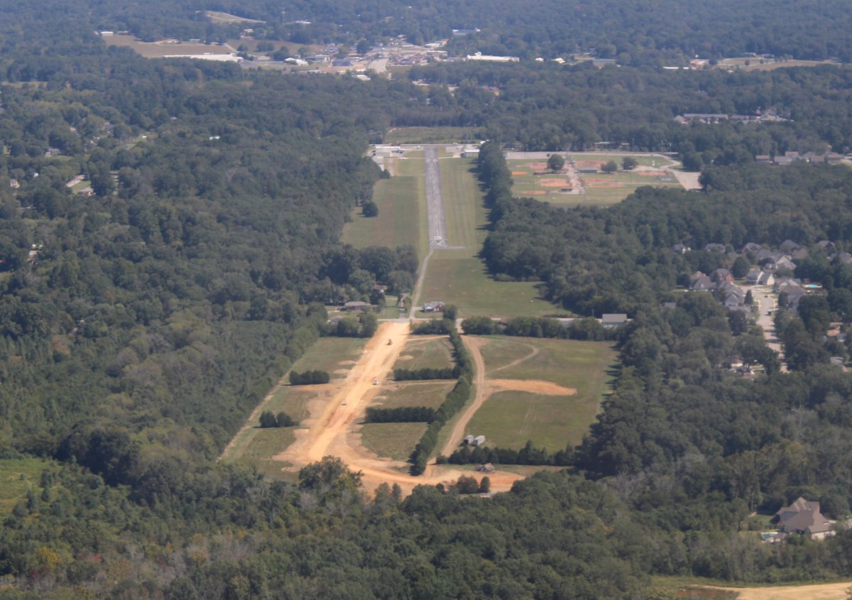
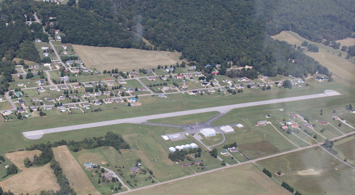
| Looking back at Marion County Airport-Brown Field (KAPT) |
| |
 |
|
| A closer look at the quarry. |
| |
 |
|
|
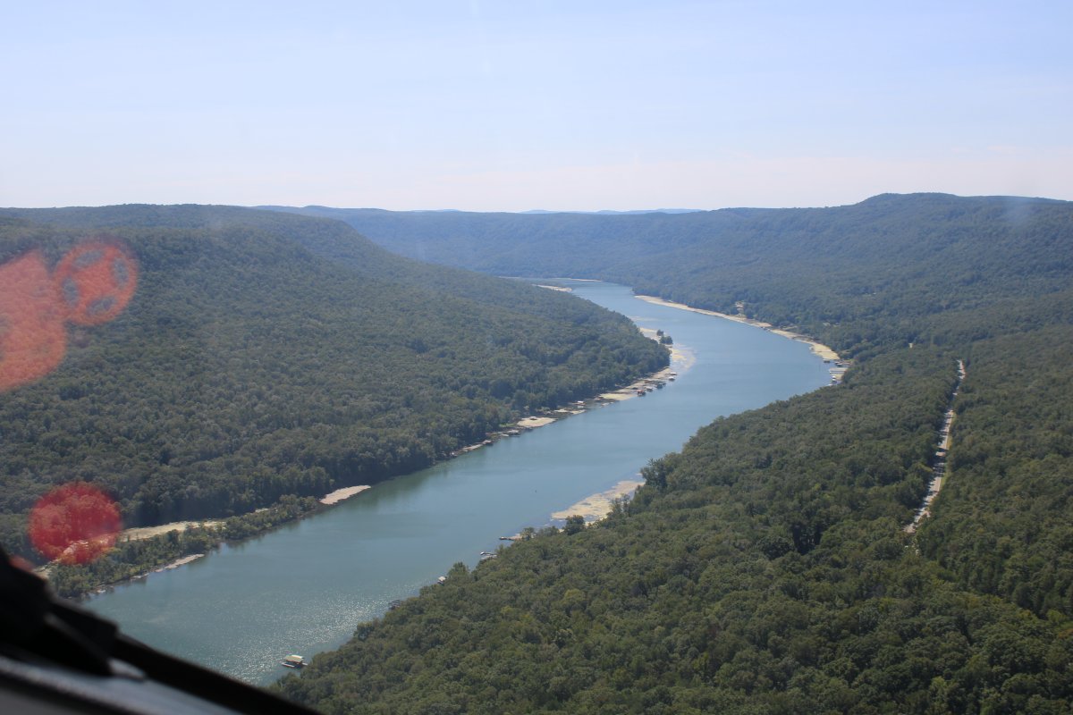
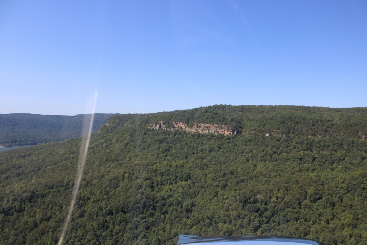
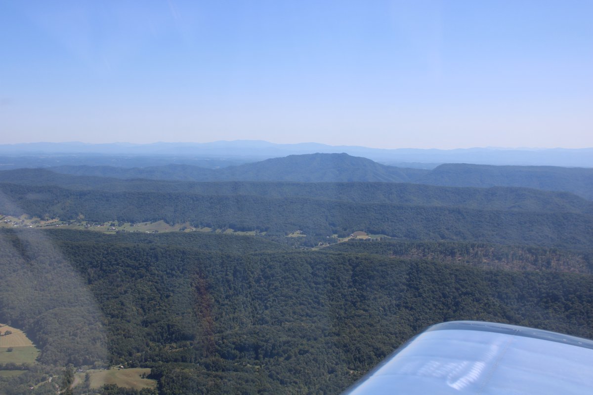
The river heads into the tree-covered mountains.
|
| |
 |
|
| This reminded me of flying the Green and Colorado Rivers out west. Only these are covered with green trees and out west it is red rock. |
| |
 |
|
|
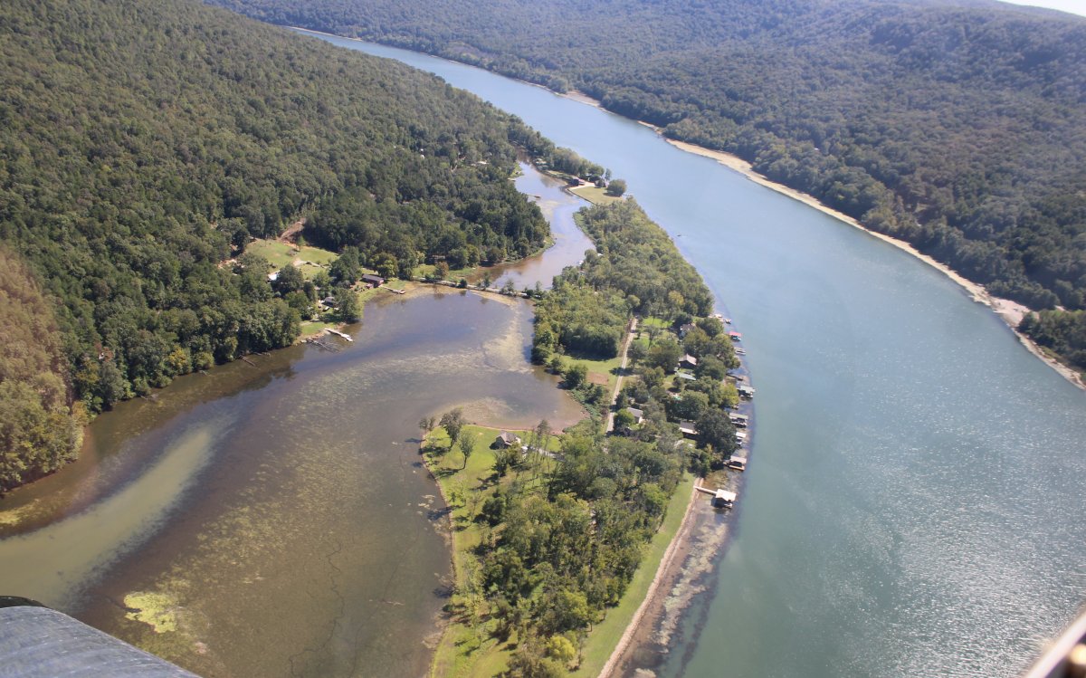
Looking down at a little community on the river.
|
| |
 |
|
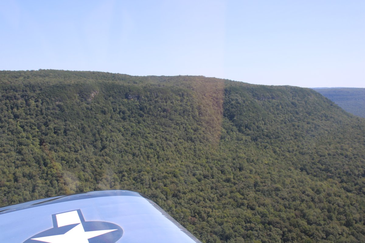
| Some rock is peaking through. |
| |
 |
|
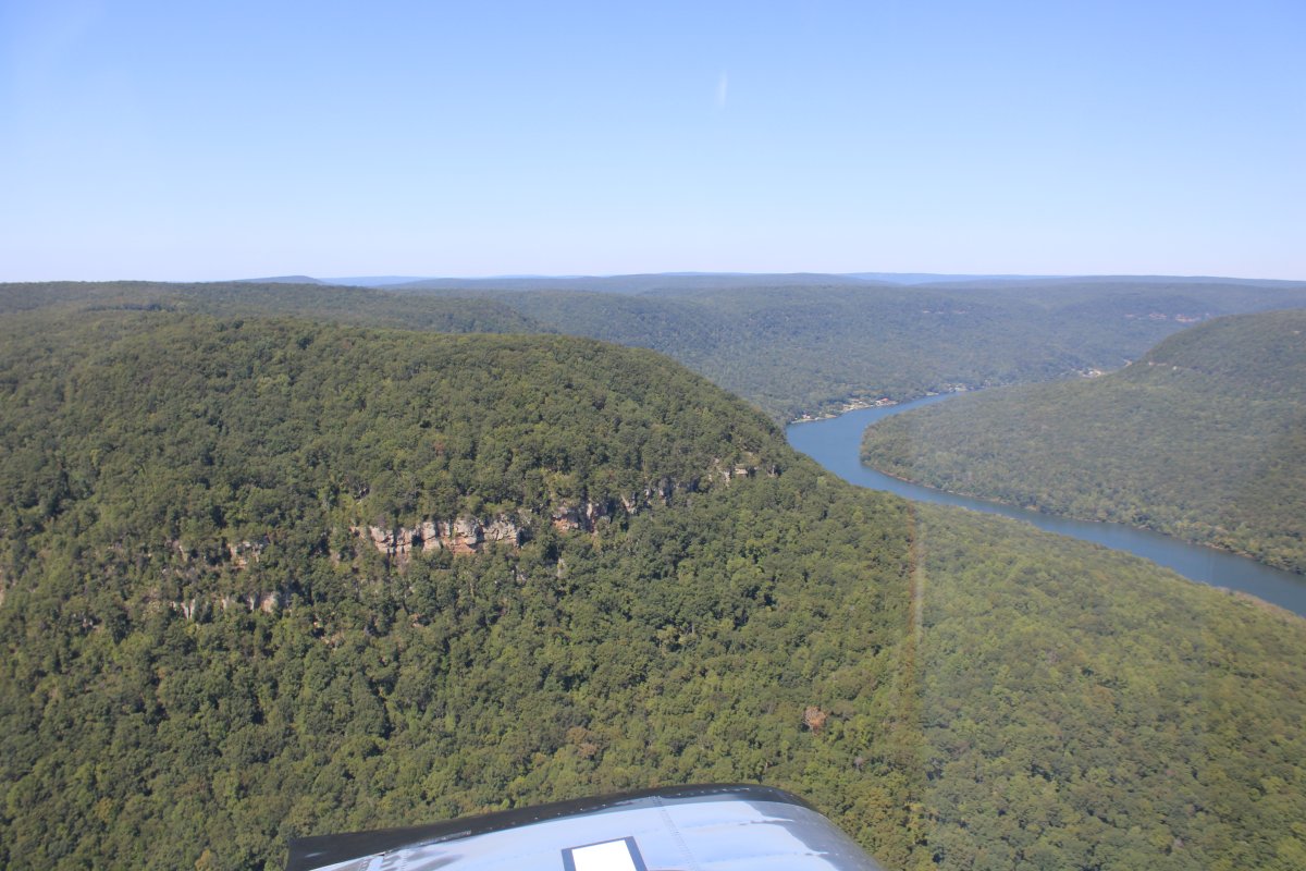
| Rounding the bend. |
| |
 |
|
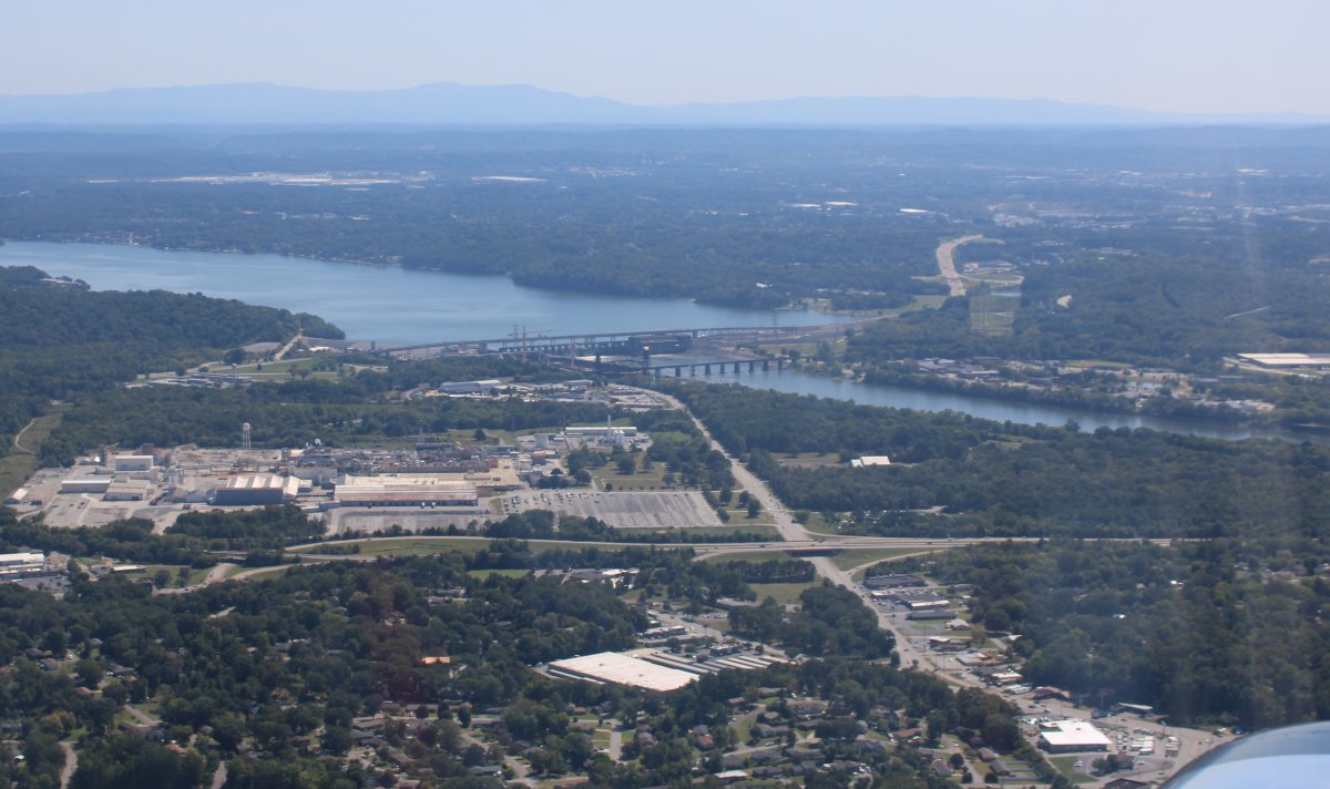
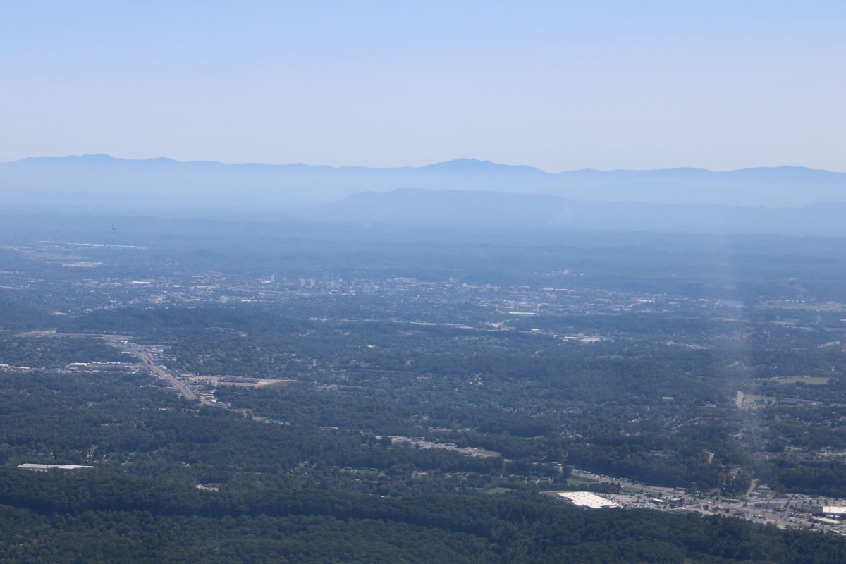
| I came around the bend and then there was Chattanooga. |
| |
 |
|
|
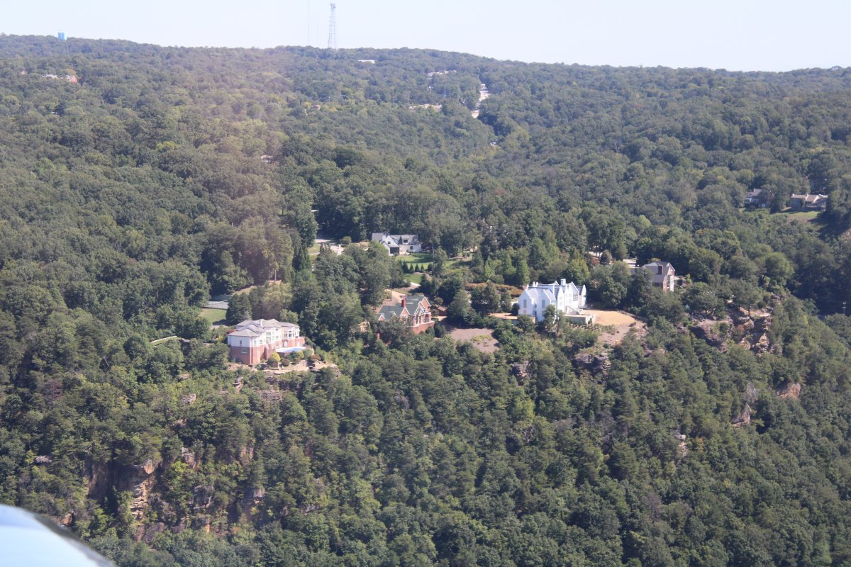
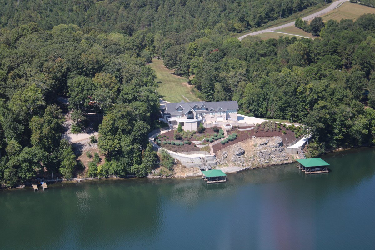
Some mansions at the top of the cliff with a great view.
|
| |
 |
|
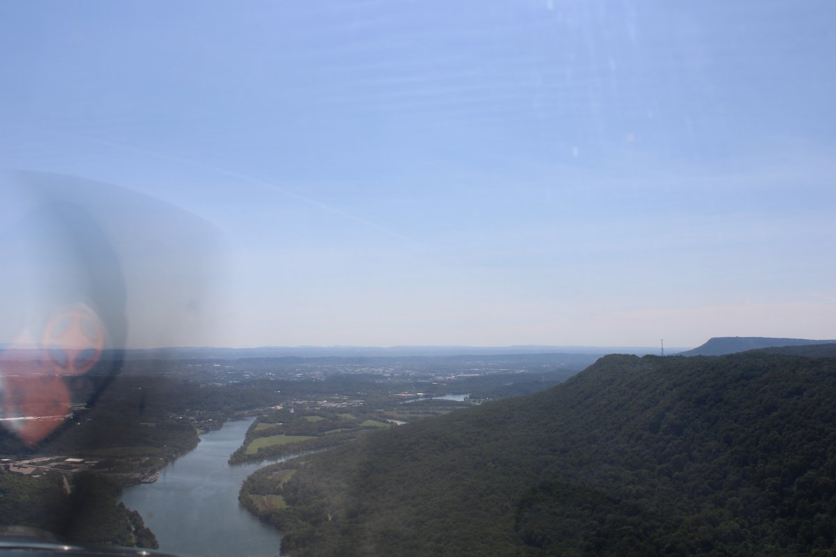
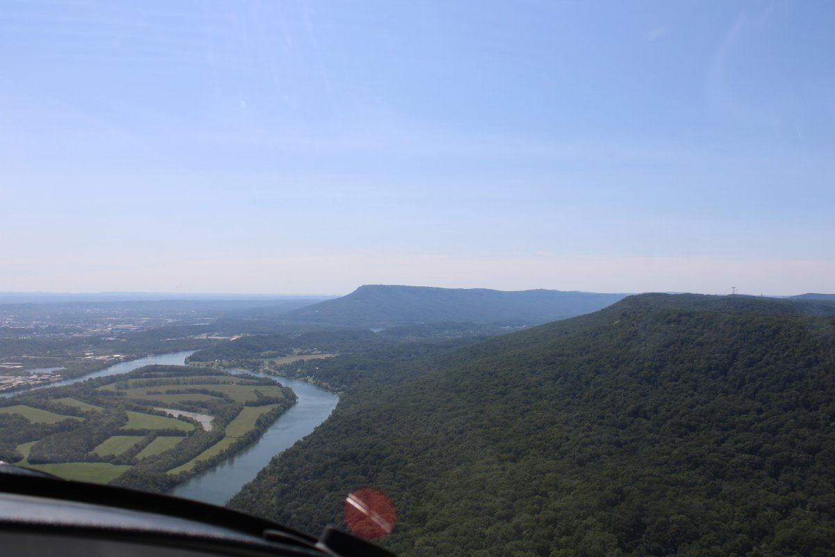
| Looking south with Williams Island on the left and Lookout Mountain at center. |
| |
 |
|
|
Still looking south. Moccasin Point is on the right with Lookout Mountain on the far right.
An important Civil War battle took place here in November, 1863. After being defeated at the Battle of Chickamauga in late September, the defeated Union Army retreated to safety in Chattanooga. The Confederates actually had the Union forces under seige and in a dire situation when Major General Ulysses S. Grant and reinforcements arrived on the scene. His troops drove the Confederates off Lookout Mountain and Missionary Ridge. Grant went to the East to take on Lee. Sherman took over in the west and began the Atlanta Campaign in the spring.
|
| |
 |
|
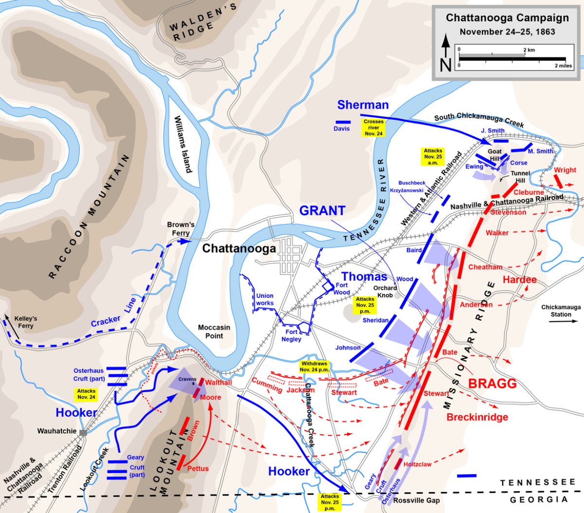
Excellent map of the Battle of Chattanooga by Hal Jespersen who is a professional cartographer of Civil War topics. Check out his web page: Link |
| |
 |
|
|
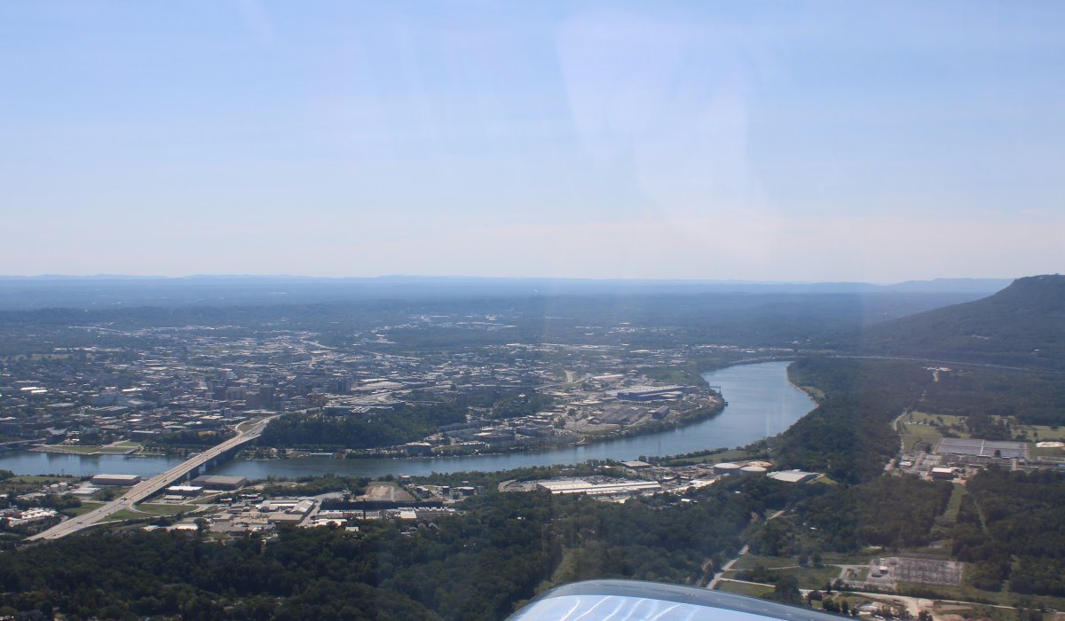
Looking east, Lovell Field Airport (KCHA) is visible at top center with Missionary Ridge behind it.
It's funny, from books, maps or even the ground, it's hard for me to get a sense of a place. But seeing it from the air, it all makes sense instantly.
I'd like to spend some time in Chattanooga. There's a lot to do here: the battlefields -- Lookout Mountain Point Park, Chickamulga Battlefield, and the Lookout Mountain Point Park.and the Lookout Mountain Point Park -- plus the Tennessee Valley Railroad Museum, Ruby Falls, and the Riverwalk.
|
| |
 |
|
|
The Wilkes T. Thrasher bridge and Chickamauga dam.
|
| |
 |
|
| Dallas Bay Sky Park Airport (1A0), just north of Chattanooga. |
| |
 |
|
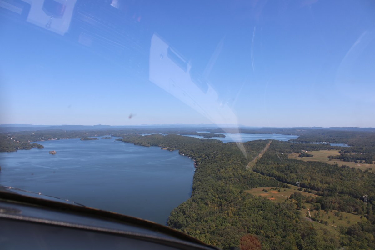
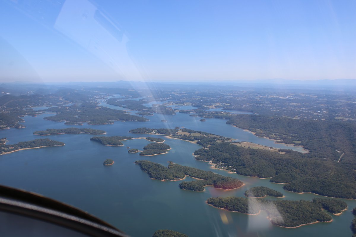
| Heading north up Chickamauga Lake. |
| |
 |
|
| No doubt the owners of the waterfront houses at the bottom of the picture enjoy looking across the lake at the Sequoyah Nuclear Plant! But they probably do like having electricity. |
| |
 |
|
|
Continuing north.
|
| |
 |
|
| Nice waterfront mansion. |
| |
 |
|
|
The Tennessee River reverts back to form.
|
| |
 |
|
| |
| |
 |
|
| A pretty, rural stretch of the river. |
| |
 |
|
| Straightaway. |
| |
 |
|
|
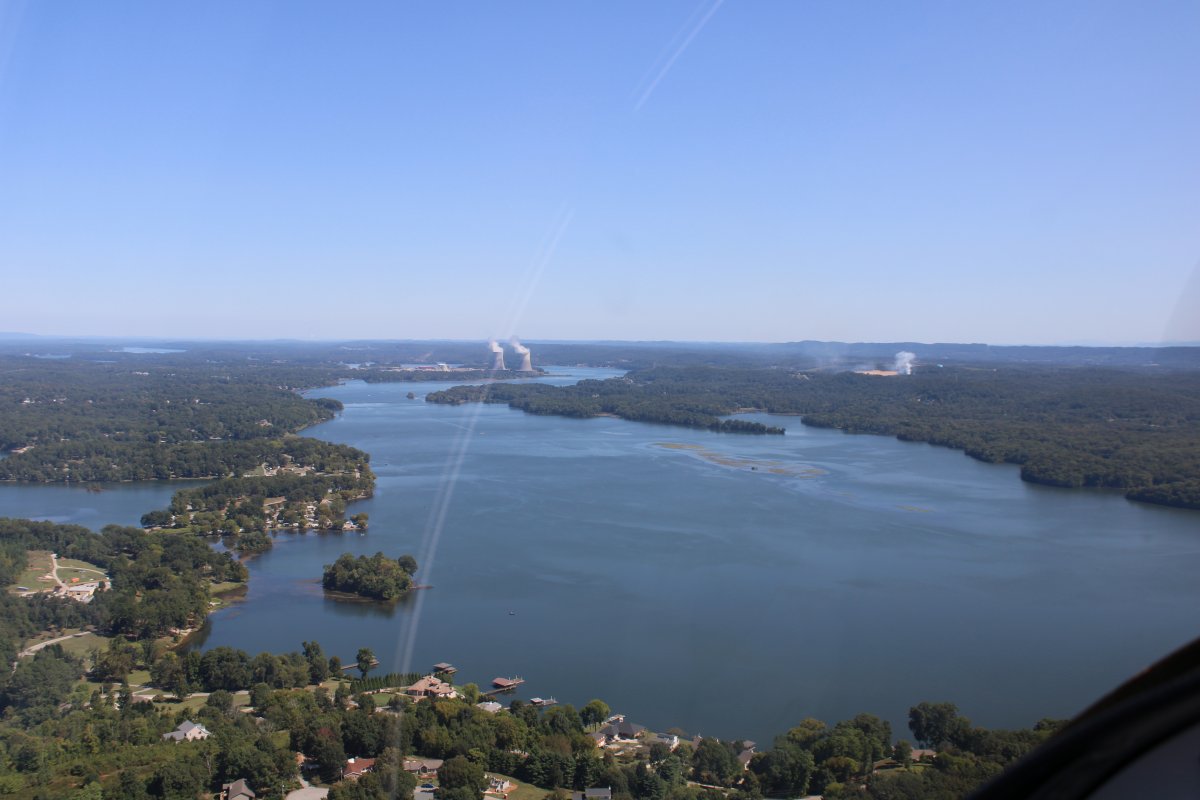
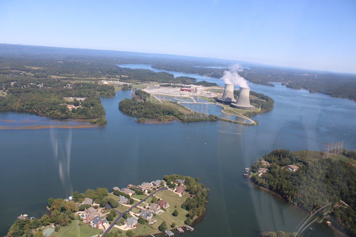
It seems like Tennessee has a lot of nuclear power plants. This one is Watts Bar.
The Watts Bar Dam is in the center of the picture. The hydroelectric dam is one of nine dams on the main Tennessee River channel operated by the Tennessee Valley Authority, which built the dam in the early 1940s to provide flood control and electricity and to help create a continuous navigable channel along the entire length of the river.
Watts Bar Dam is named for Watt Island, a sandbar located at the dam site prior to the dam's construction.
|
| |
 |
|
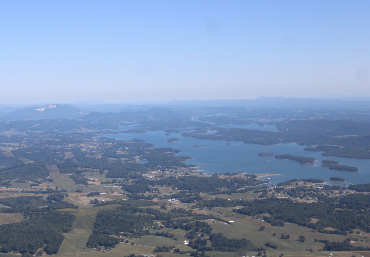
| Over big Watts Bar Lake. |
| |
 |
|
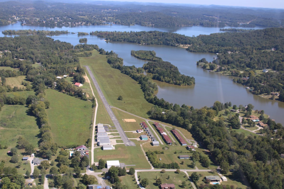
Meadowlake Airpark (12RN) -- also known as Riley Creek Airport -- is on the Watts Barr Lake near Kingston. It's a private airport community. History |
| |
 |
|
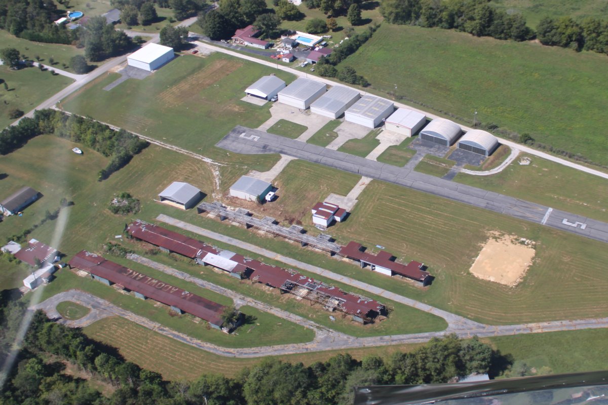
| It looks like those T-hangars with the rusted steel roofs have been abandoned. But those new, big hangars at the top of the picture look good. |
| |
 |
|
|
I left the Tennessee River after Watts Bar Lake and headed north.
Here, the Tennessee River continues to the east, then turns northeast towards Knoxville.
|
| |
 |
|
| Another nuclear power plant is visible on the Clinch River. |
| |
 |
|
|
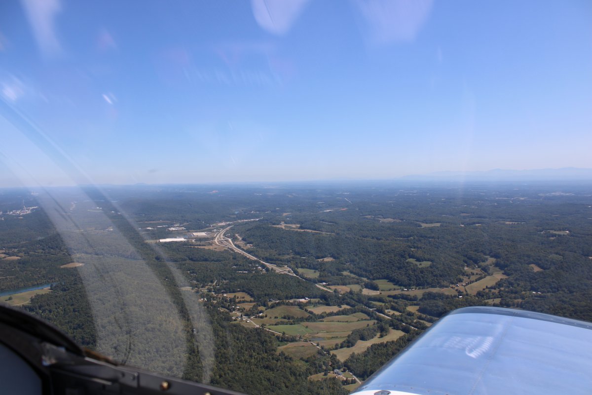
Interstate 40 heads east to Knoxville.
|
| |
 |
|
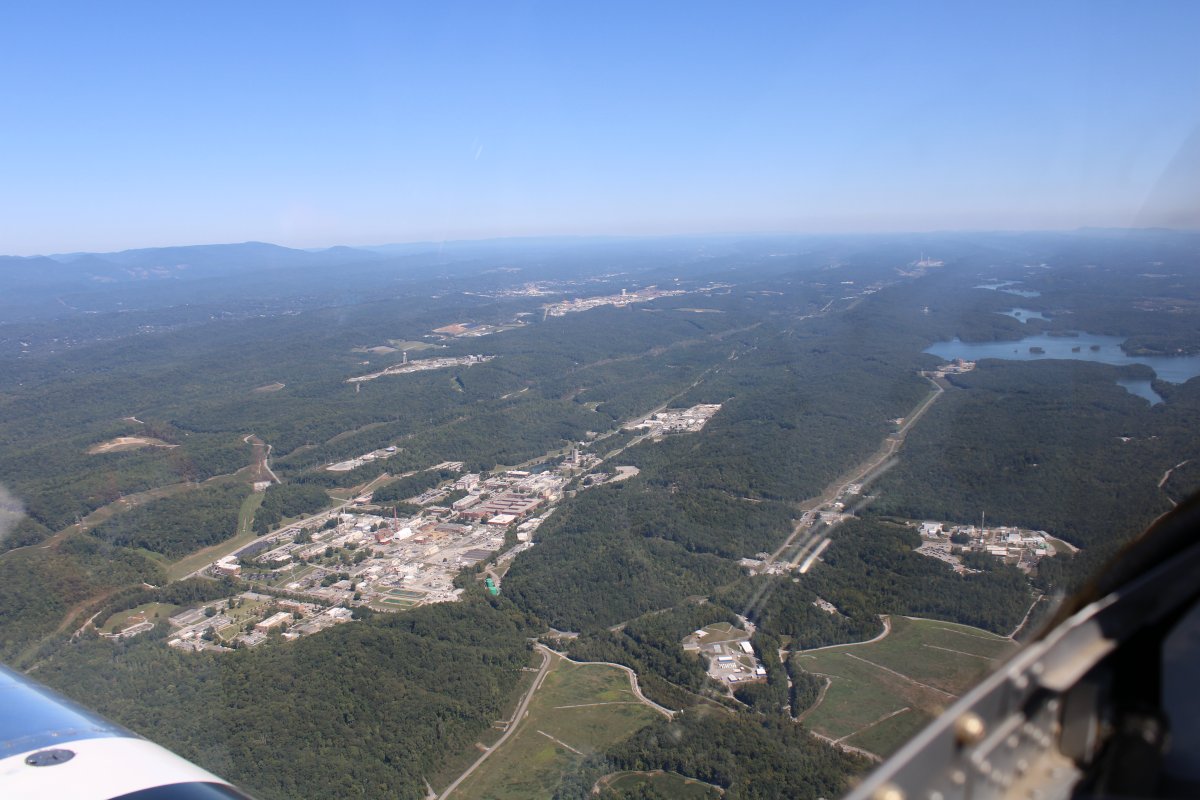
| This is what I wanted to see. Oak Ridge National Laboratory is the complex at lower left. The complex at top center is the Y12 National Security Complex. |
| |
 |
|
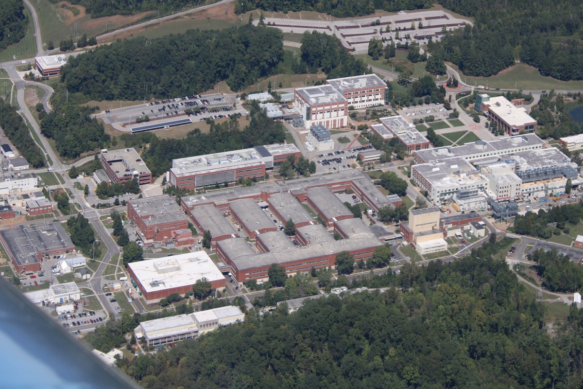
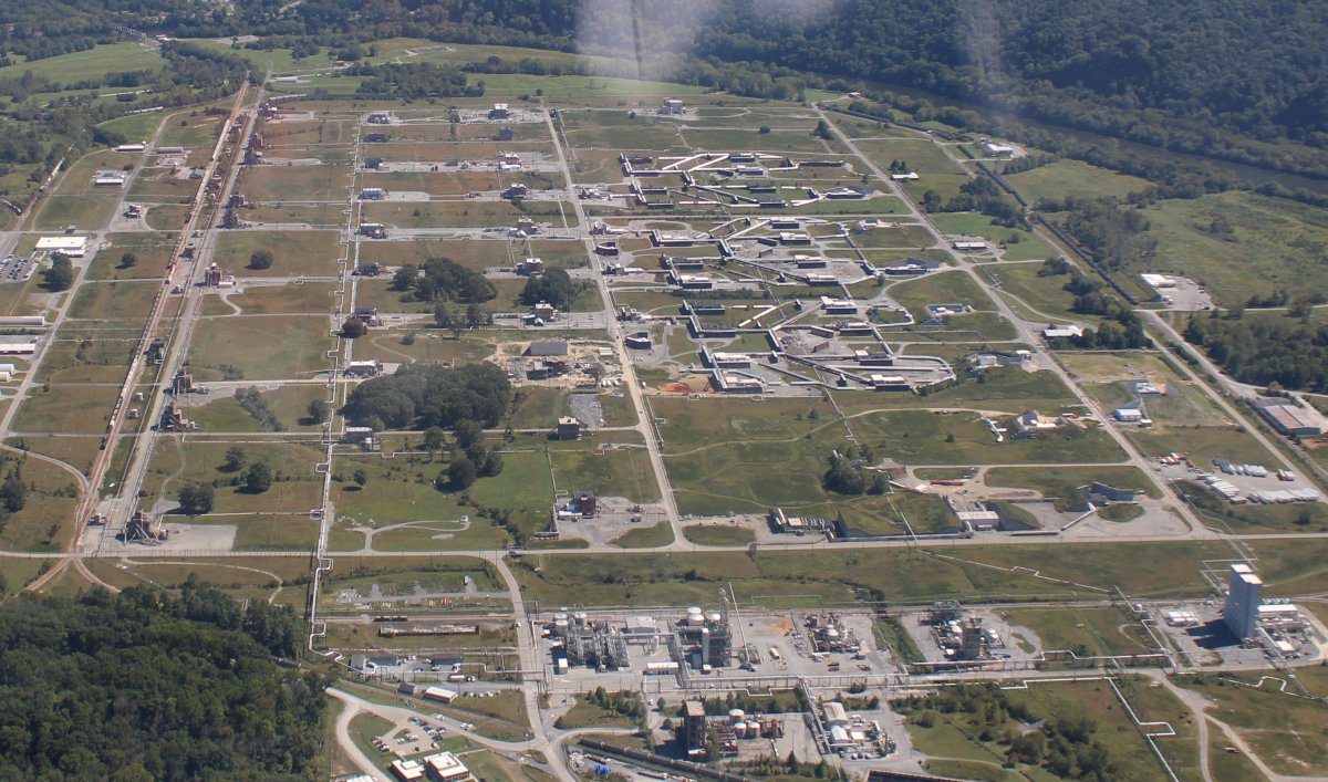
A close look at the Oak Ridge National Laboratory. This was one of the key sites for building the atomic bomb during World War II. It was established by the Army Corps of Engineers in 1942 on isolated farm land as part of the Manhattan Project. The site was chosen for the X-10 Graphite Reactor, used to show that plutonium can be created from enriched uranium. Enrico Fermi and his colleagues developed the world's second self-sustaining nuclear reactor here after Fermi's previous experiment, the Chicago Pile-1. The X-10 was the first reactor designed for continuous operation. After World War II the site was used for scientific research. Now ORNL conducts research and development activities that span a wide range of scientific disciplines. |
| |
 |
|
|
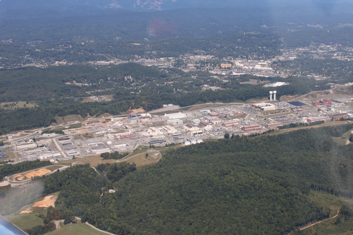
The Y12 National Security Complex. The aircraft sectional chart asks pilots to stay 3,000 feet away from this area so no close-up picture.
Y-12 is the World War II code name for the electromagnetic isotope separation plant producing enriched uranium at the Clinton Engineer Works in Oak Ridge, Tennessee, as part of the Manhattan Project. Construction began in February 1943. It is considered the birthplace of the atomic bomb.
The Y-12 facility began operating in November 1943, separating uranium-235 from natural uranium, which is 99.3% uranium-238, by using calutrons to perform electromagnetic isotope separation. Y-12 separated the uranium-235 for Little Boy, the nuclear weapon that was dropped on Hiroshima, Japan on August 6, 1945. K-25, another facility in Oak Ridge, produced enriched uranium using gaseous diffusion. However, K-25 did not begin operating until March 1945 and fed slightly enriched uranium to Y-12's Beta Calutrons as the push to obtain enough uranium 235 for Little Boy came in the early summer of 1945.
In the years after World War II, iY12 has been operated as a manufacturing facility for nuclear weapons components and related defense purpose
|
| |
 |
|
|
Looking east at Knoxville.
|
| |
 |
|
|
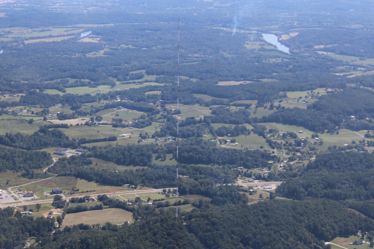
I was flying along and saw this tower. I think it's the tallest one I've seen. It was almost 3,000 feet msl -- probably around 2,500 agl.
|
| |
 |
|
| The Holston River branches off the Tennessee River east of Knoxville, flows northeast, and becomes Cherokee Reservoir, pictured here. |
| |
 |
|
| Northern Cherokee Lake. |
| |
 |
|
| Then it turns back in to Holston River. |
| |
 |
|
|
Passing by Hawkins County Airport (KRVN), Rogersville, Tennessee. I wonder how the people living in those houses feel about being so close tothe airport.
|
| |
 |
|
| Looking southeast at mountain ridges. Johnson City -- which I know so well -- is on the other side. |
| |
 |
|
Looking down at the Holston Army Ammunition Plant. Holston Ordnance Works [HOW] was established in July 1942 and stopped production in 1945. It was reactivated in 1949 during the Cold War and continues today. The installation was renamed Holston Army Ammunition Plant [HSAAP or HAAP] in the early 1960s. was constructed by Tennessee Eastman in Kingsport, Tennessee to manufacture explosives during World War II. During World War II, RDX, a powerful explosive, was manufactured for the U.S. government at Holston Ordnance Works at Tennessee Eastman sites. At the peak of production near the end of the war, the ordnance plant was producing a million and a half pounds of explosives each day. T
|
| |
 |
|
|
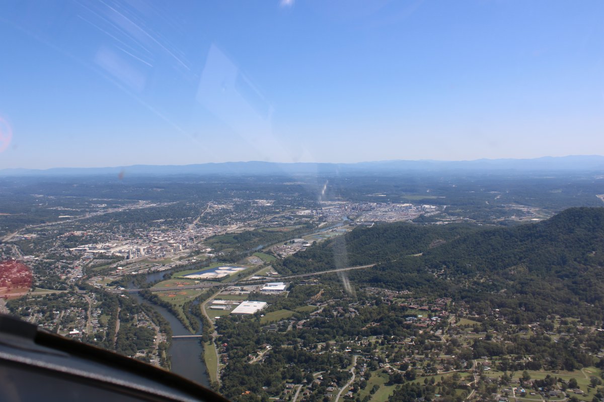
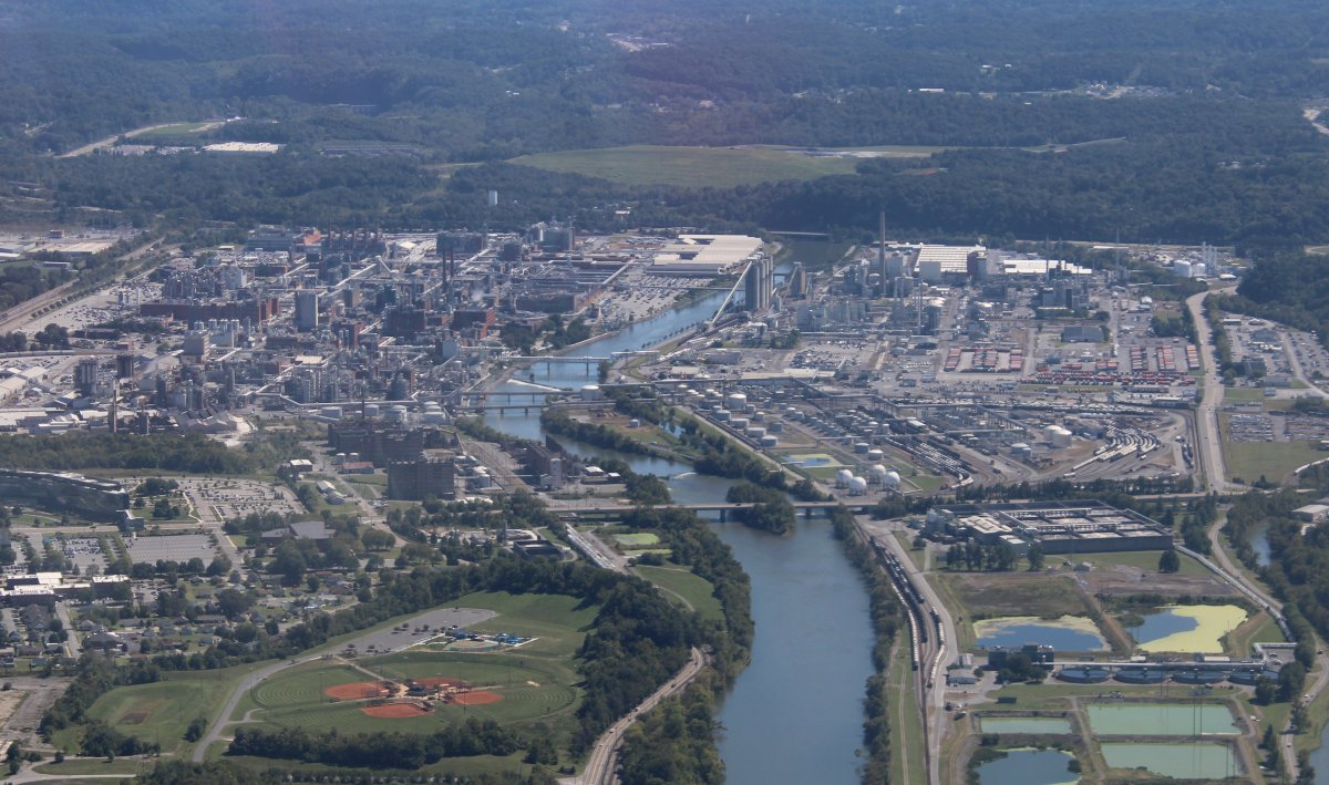
That's the city of Kingsport on the left and the huge Eastman Chemical Company complex at upper right.
Kingsport is commonly included in what is known as the Mountain Empire, which spans a portion of southwest Virginia and the mountainous counties in northeastern Tennessee. The name "Kingsport" is a simplification of "King's Port", originally referring to the area on the Holston River known as King's Boat Yard, the head of navigation for the Tennessee Valley.
|
| |
 |
|
|
Once a subsidiary of Kodak, Eastman was spun off from parent Eastman Kodak in 1994. Today Eastman it is an independent global specialty materials company that produces a broad range of advanced materials, chemicals and fibers for everyday purposes. It had a 2019 sales revenue of approximately $9.3 billion. Eastman Chemical Company operates more than 50 manufacturing sites in 16 countries.
|
| |
 |
|
| Looking northwest as leave the Kingsport area. I am in Virginia now. |
| |
 |
|
|
Passing by Virginia Highlands Airport (KVJI). I've passed by here -- on the southeast side -- many times, but have never landed here.
|
| |
 |
|
|
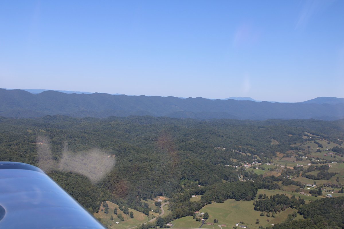
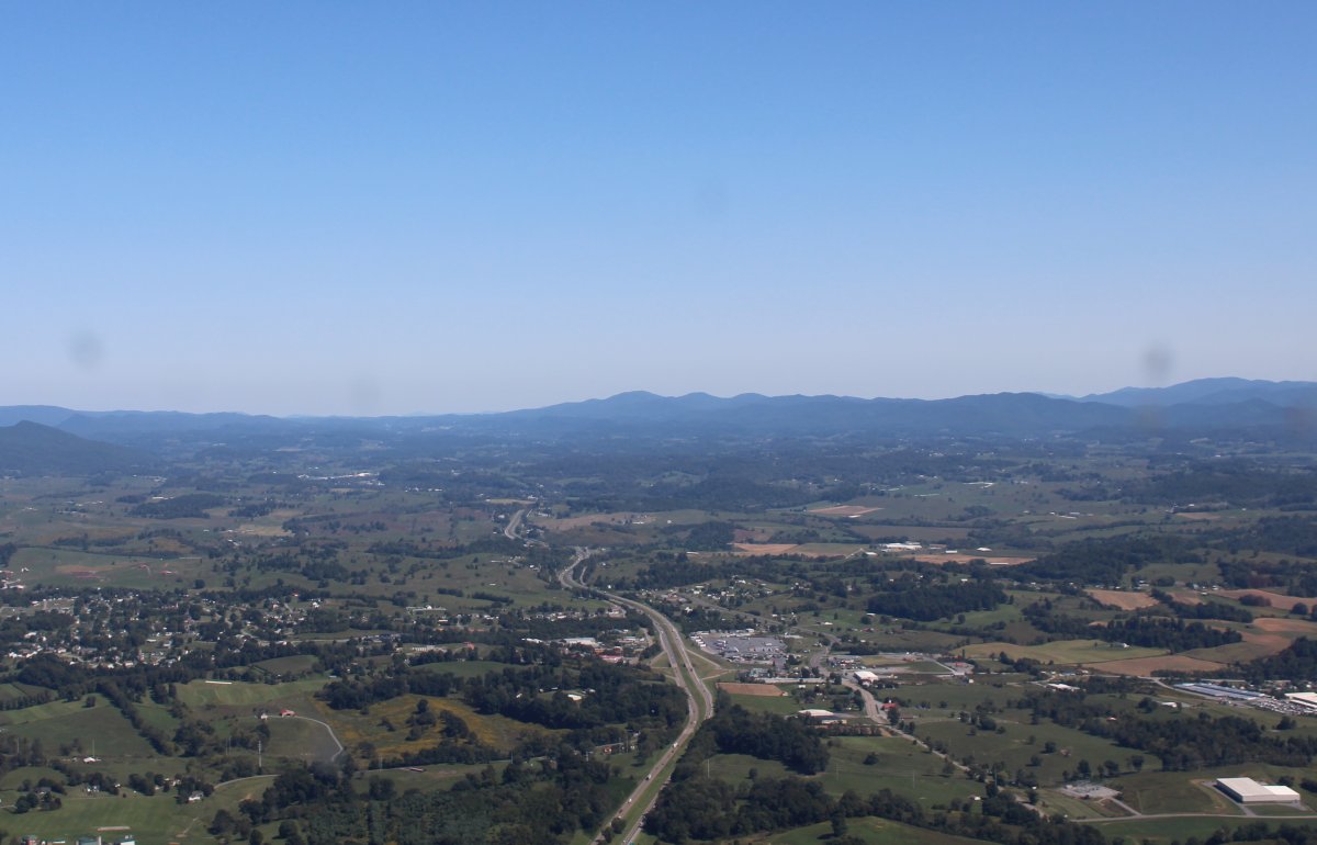
Flying up the valley into the hills, following Interstate 81.
|
| |
 |
|
|
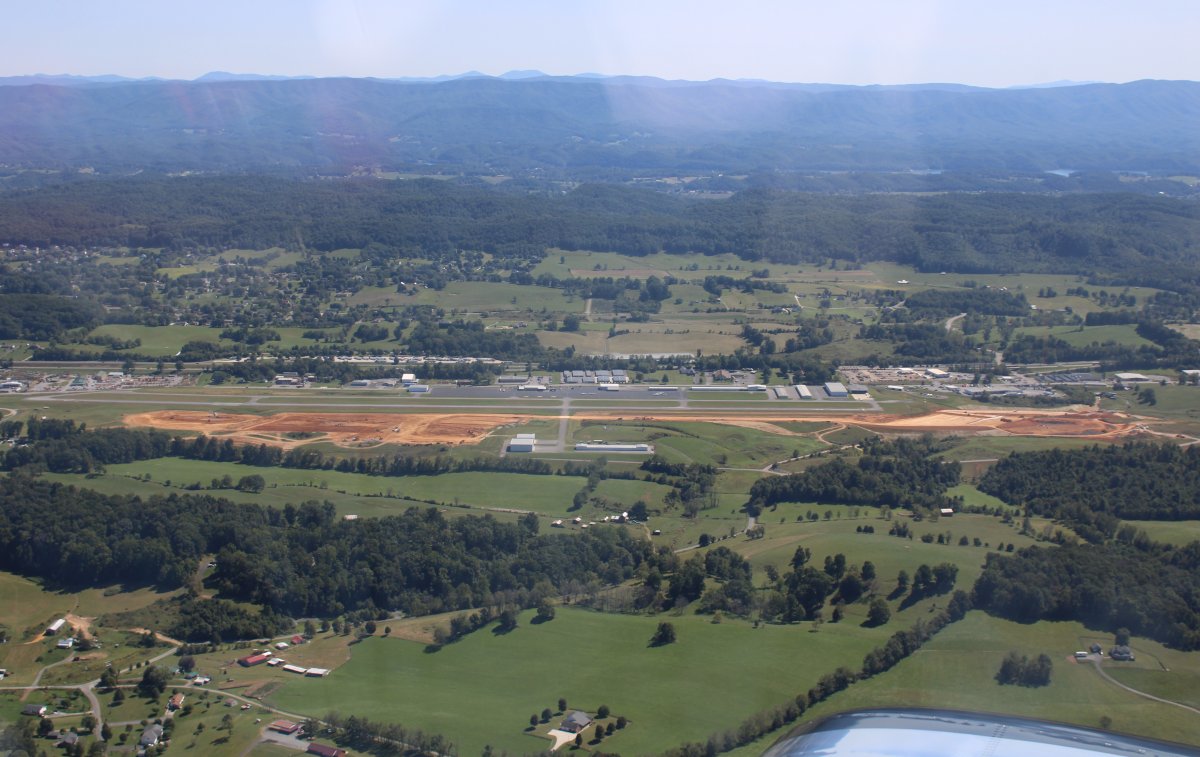
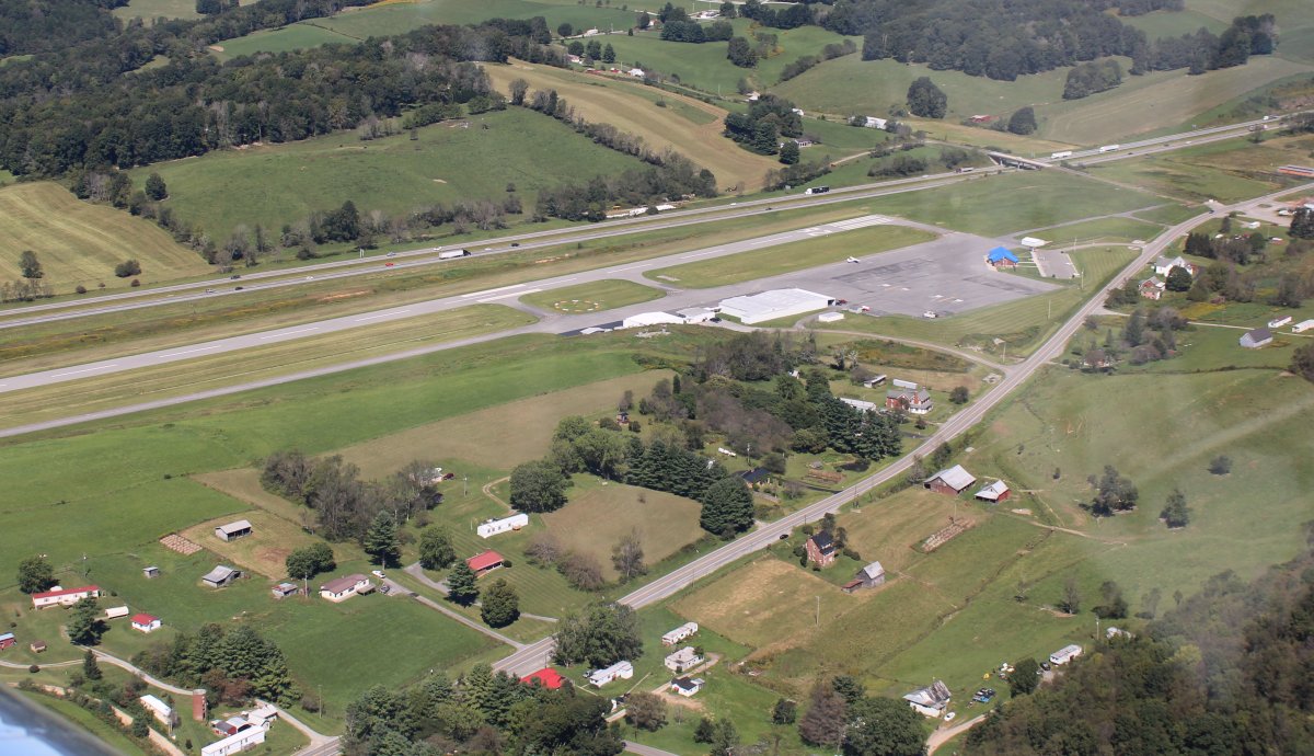
On downwind at Mountain Empire Airport (KMJK). Mountain Empire is a favorite stop of mine on the Johnson City to Baltimore run. Previously, I've always just gassed and go, but today I would be borrowing their courtesy car and getting lunch in town.
|
| |
 |
|
|
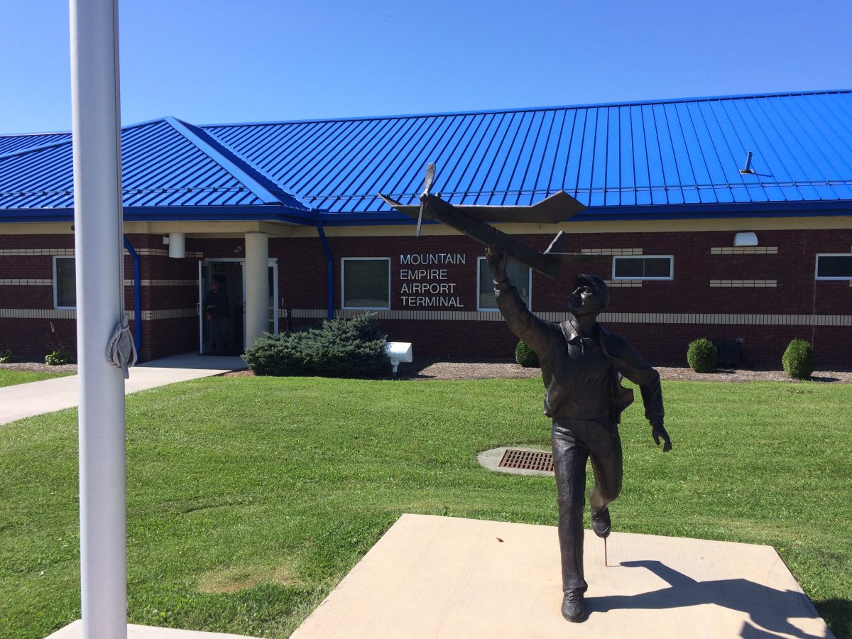
In the front of the terminal. Believe it or not, I have never been out of the terminal on the street side!
|
| |
 |
|
| |
| |
|
|
|
|
|
|